
Getting the View From Above
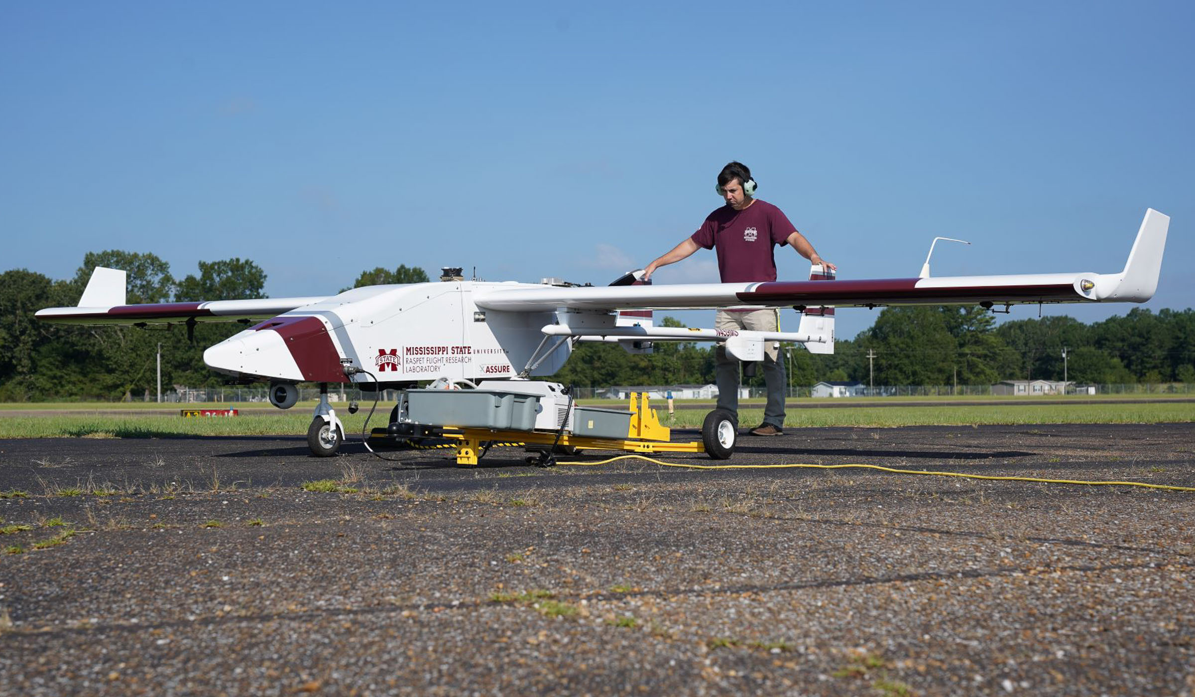
Miles Ennis, an unmanned aircraft systems maintenance technician with the Raspet Flight Research Laboratory, stands behind a UAS in early September during a pre-flight safety check at George M. Bryan Airport in Starkville. As remnants of Hurricane Ida exited Mississippi, two MSU research groups collected aerial imagery of the rain-soaked Golden Triangle region to aid NOAA’s National Weather Service in fine-tuning future flood forecasts. In collaboration with the Northern Gulf Institute, Raspet researchers flew this unmanned aircraft system, or UAS, across portions of Oktibbeha, Clay, Monroe and Lowndes counties, including along the Tombigbee River, during a two-day window. Equipped with a multiple sensor payload, these UAS missions enable near real-time data transmission to NOAA’s National Weather Service, River Forecast Centers, and emergency management personnel.